EuroSDR Educational Service 2025 PDF Free Download
/1
100%

Fees
© Malmö stad
EuroSDR Educational Service 2025
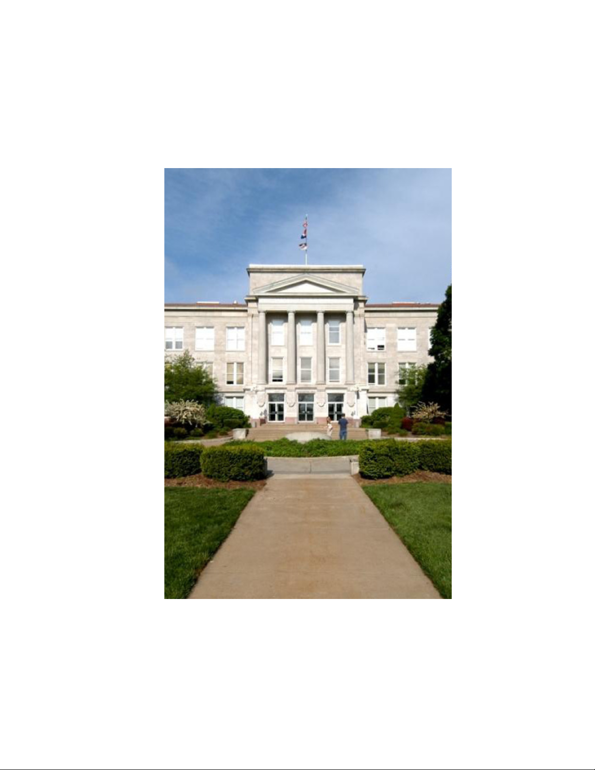
The 23rd series of EuroSDR e-learning courses will begin on March 3-4, 2025 with a pre-course seminar, hosted by the National
Land Survey of Finland, Finnish Geospatial Research Institute FGI, Espoo, Finland. During the seminar, background material of four
e-learning courses will be presented by the tutors, participants will meet the tutors and fellow participants, and the learning
platform – Moodle, will be demonstrated. The four two-week e-learning courses are scheduled from March to June 2025. Each
course requires about thirty hours of online study.
400 € for pre-course seminar + 1 or 2 courses | 500 € for pre-course seminar + 3 or 4 courses
5 grants for PhD/MSc students covering admission fee are available (see the application form on the EduServ website).
From Traditional to AI-based 3D Scene
Capture and Modeling
Point Cloud Processing with Laser
Scanning
Michael Weinmann (Delft University of Technology), Dennis
Haitz, Martin Weinmann (Karlsruhe Institute of Technology)
Juha Hyyppä, Josef Taher and Matti Lehtomäki (Finnish
Geospatial Research Institute)
Articial Intelligence (AI) has led to signicant
breakthroughs in various elds. The advent of
implicit, neural-network-based scene representa-
tions marks a signicant leap in photogrammetric
computer vision and novel view synthesis as well as
respective applications in robotics, urban mapping,
autonomous navigation, virtual/augmented reality,
etc. Employing neural networks to encode high-res-
olution scene information has been demonstrated
to capture precise 3D models, while additionally
being more compact than scene representations in
terms of point clouds or voxel block models.
Through a blend of theoretical insights, visual
illustrations and practical exercises, this course will
delve into core concepts, implementation strate-
gies, and advanced applications of traditional and
AI-based 3D scene capture and visualization,
providing you with the skills and knowledge to
reect on the strengths, innovation potential and
limitations of current approaches.
The development of point cloud generation
optoelectronics has been fast in the last decades. The
rst Airborne Laser Scanners (ALS) were from the
early 1990s, followed by Mobile Laser Scanners (MLS)
from the early 2000s. Autonomous cars use similar
lidar technology for autonomous perception.
Previously, Google Tango and, today, iPad Pro include
a laser scanner allowing crowdsourced applications.
There are also hand-held, backpack and drone
systems, including lidars. Terrestrial laser scanning
has become a standard tool for providing 3D data in
non-built and built environments. This course will
provide an understanding of how such point clouds
could be processed into informatics. Introduction is
given to laser scanning physics and general point
cloud processing techniques, and then more focus is
given to AI, namely machine-learning and
deep-learning approaches in point cloud processing.
Several applications are covered, in particular from
forestry.
Dates: March 17-28, 2025 Dates: April 7-18, 2025
Machine Learning for Earth Observation Spatial Data Quality
Hao Cheng, John Ray (JR) Bergado and Claudio Persello
(ITC, University of Twente)
In recent decades, Machine Learning (ML), particu-
larly Deep Learning (DL), has achieved tremendous
success across various domains. This course will
begin with a general overview of ML, followed by an
exploration of key DL applications in Earth Observa-
tion and Geoscience, such as semantic segmenta-
tion and change detection using aerial imagery.
Step-by-step practical exercises will be provided
using Python notebooks. The course is structured
into four modules: (i) introduction to ML covering
conventional classication methods such as
Support Vector Machines (SVM) and Random Forest
(RF), illustrated by land cover mapping; (ii) DL with
an emphasis on Convolutional Neural Networks
(CNNs), illustrated by CNN-based image classica-
tion model; (iii) advanced image analysis, including
semantic segmentation, object detection, instance
segmentation, panoptic segmentation, and polygo-
nization; (iv) change detection with the application
of neural networks for detecting changes over time.
Dates: May 5-16, 2025
Joep Crompvoets (KU Leuven), Nienke Eernisse (Ordnance
Survey), Anouk Huisman-van Zijp (Kadaster), Antonello Rizzo
Naudi (Planning Authority), Angéla Olasz (Lechner Knowledge
Center) et al.
The geospatial landscape has experienced significant
transformation, with the volume of geolocated data
expanding rapidly. However, data quality can vary
widely. Key aspects like accuracy, completeness, and
consistency are critical in minimising errors and
maximising the value of spatial data across various
applications. For national mapping and cadastral
agencies, maintaining high standards of spatial data
quality is crucial for ensuring the dependability of the
information used. To gain better insights in spatial
data quality, EuroGeographics Quality KEN and EuroS-
DR organise a course that is dedicated to this topic. We
will explore different data quality elements and
methods, look into visualisation challenges, and
explore innovative technologies to determine spatial
data quality. The course has four modules: (i) Basics
of spatial data quality management; (ii) Spatial data
quality management; (iii) Quality assurance and
evaluation, including measures, methods, and trust; (iv)
Visualisation of quality and crowdsourcing.
Dates: June 2-13, 2025
For more information visit
http://www.eurosdr.net/education/current